

30 South Surveying
At 30 South, LLC, we are dedicated to delivering accurate, reliable, and forward-thinking surveying and mapping services tailored to each client’s unique needs. With more than 100+ years of combined experience, our team has earned a reputation for providing precision data that keeps projects on track, on time, and within budget.
Our Mission
Our mission is to empower our clients with the accurate data they need to build with confidence. From detailed boundary surveys and topographic mapping to large-scale development projects, we combine cutting-edge technology with decades of practical experience to deliver dependable results every time.
Our Team
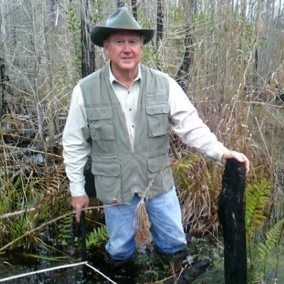
John Clyatt
John Morgan Clyatt is a sixth generation Floridian, a third generation land surveyor, and has been involved in the surveying profession since 1976. After graduating from the University of Florida with a degree in Land Surveying, he became registered in Florida in 1984. He remains actively involved with his Alma Mater and serves on the UF Geomatics Program Advisory Committee. He is a Life Member of the Florida Surveying & Mapping Society where he served as President in 2002/2003 and currently serves on the PAC and legislative committees. His experience includes boundary and topographic surveys, PLSS retracement surveys, conservation easement surveys, land acquisition appraisal mapping and surveys, ordinary high water determination, quantity surveys, control surveys, aerial mapping and planning and contract administration with private and government agencies.

Sherry Kirkland
Ms. Kirkland is a Professional Surveyor & Mapper that has been involved in the surveying and mapping field since 2002. She graduated from Penn State University with a Bachelor’s in Surveying, and the University of Florida with a Master of Science in Geomatics. Her extensive experience includes hydrographic surveys, boundary surveys, topographic surveys, ALTA/ACSM title surveys, "as-built" surveys, photogrammetric geodetic ground control, volume computations and GIS mapping. She is recognized as a team leader who is reliable, efficient and professional, has a keen attention to detail, and works well under pressure.
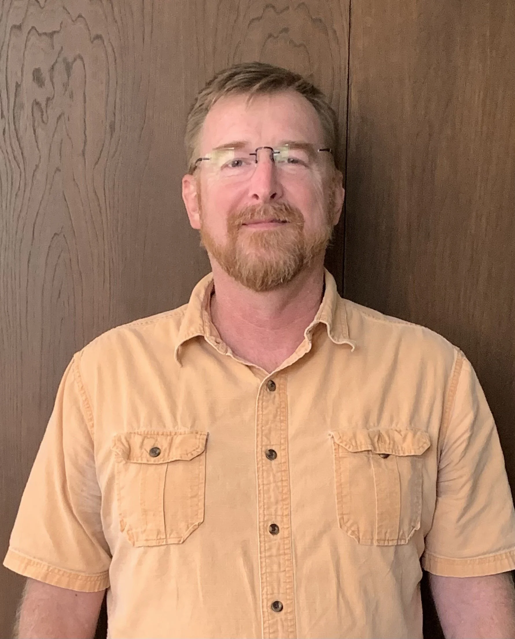
Eric Presnell
Eric Presnell is a Professional Surveyor and Mapper with more than 20 years of licensure in the state of Florida. He has extensive experience across all types of surveys, including boundary, topographic, ALTA, and construction surveys. Eric has played a key role in large-tract government land acquisitions and provides land development support, including platting and plat review services. His technical expertise includes AutoCAD, Civil 3D, and Trimble Business Center, allowing him to ensure precision and efficiency in every project. Known for his practical approach and dedication to quality, Eric continues to deliver reliable results across both public and private sector projects.