

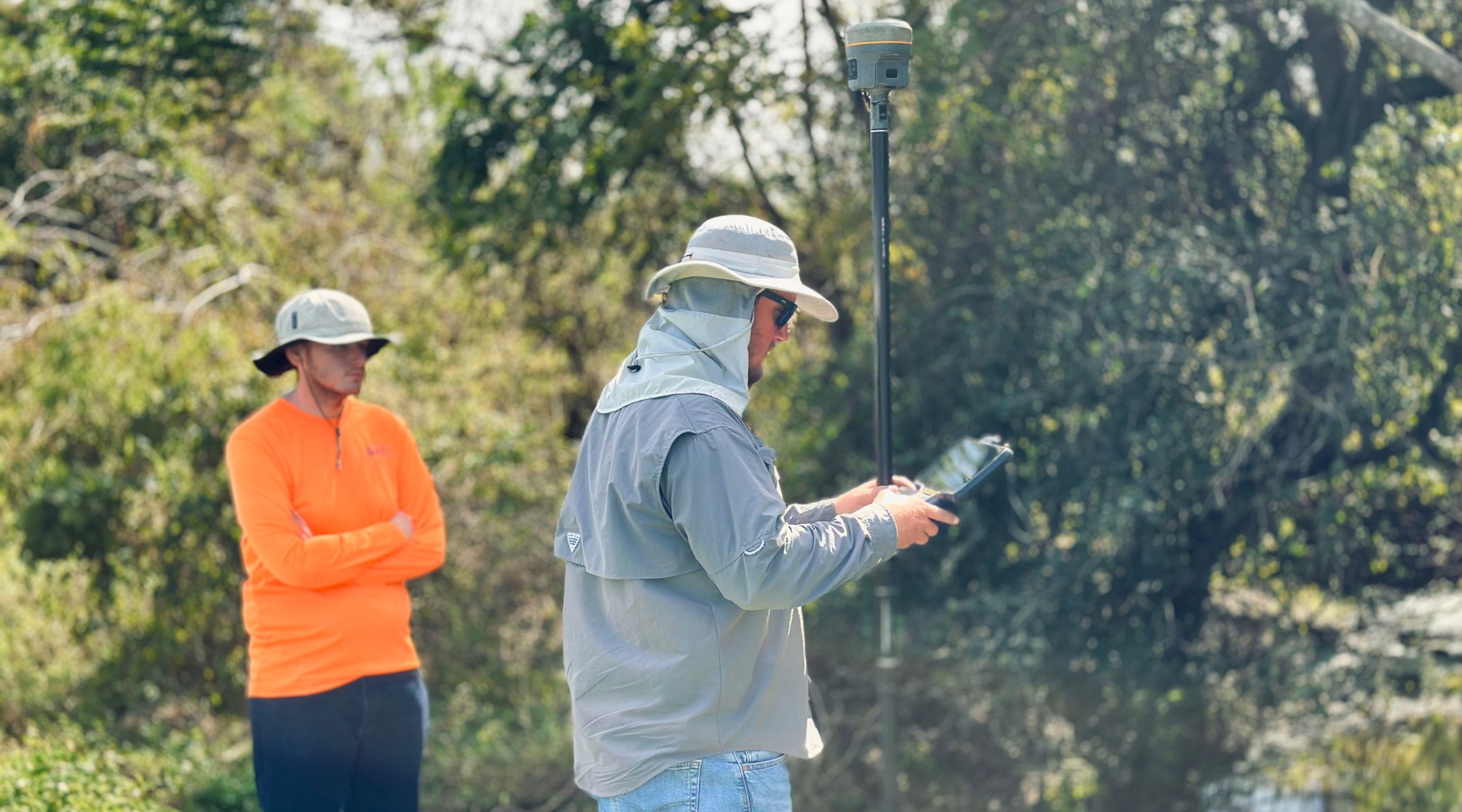
PRECISION SURVEYING & MAPPING YOU CAN TRUST
High-Quality Surveys for Your Most Demanding Projects
Boundary Survey
Precisely define property limits to ensure legal clarity and avoid disputes.
Benefits: Accurate legal documentation, peace of mind, and avoidance of boundary disputes.
Expert Witness Services
Deliver professional surveying testimony and analysis to support litigation, boundary disputes, and technical investigations.
Benefits: Trusted insight, strong legal support..
Topographic Surveys
Map land contours and elevations to support efficient planning and design.
Benefits: Reliable site data, fewer design errors.
Wetlands Surveys
Identify and delineate wetland boundaries to ensure environmental compliance and guide responsible land development decisions.
Benefits: Environmental protection, regulatory approval.
As-Built Surveys
Document completed structures to verify construction accuracy and design compliance.
Benefits: Accurate records, quality assurance.
ALTA Surveys
Provide standardized property data for high-value real estate and transactions.
Benefits: Clear title verification, reduced risk.
Subdivision Platting
Subdivide or adjust property boundaries in compliance with local regulations.
Benefits: Seamless approvals, compliance confidence.
Tree Surveys
Catalog tree species and locations to guide sustainable land development.
Benefits: Code compliance, informed design.
Volumetric Surveys
Measure material quantities and earthwork volumes with precise, dependable accuracy.
Benefits: Cost control, accurate resource management.
Construction Staking
Translate design drawings into accurate field points for precise construction layout.
Benefits: Fewer build errors, on-time delivery.
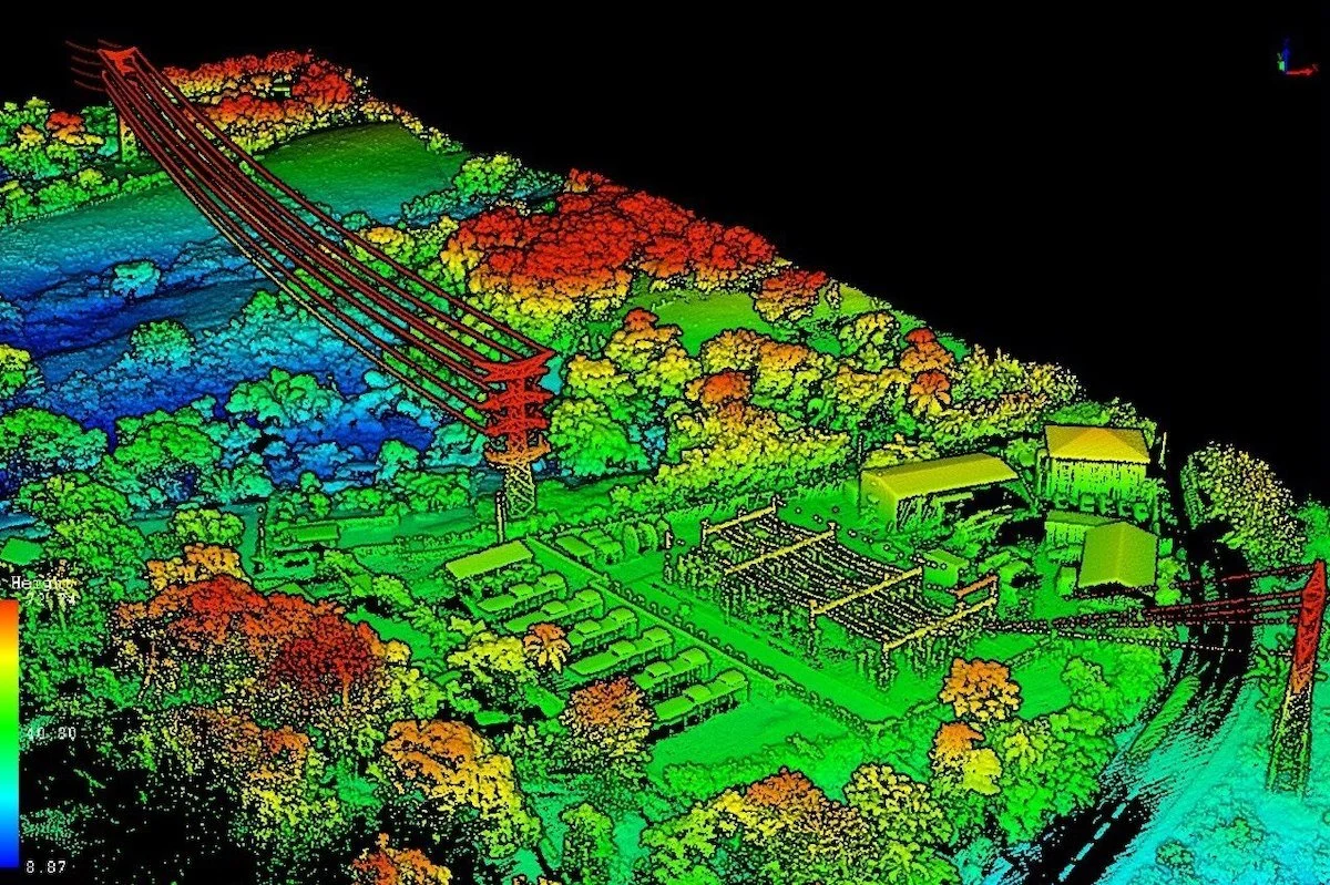
If you are looking for fast, accurate LiDAR and photogrammetry data, contact 30 South Geospatial and get started.
Choose 30 South for Your Survey and Mapping Needs
Experienced Team: Our partners have over 100+ years of combined experience in the surveying and mapping industry. Our licensed professionals serve clients across Florida, Georgia, Alabama, and North Carolina.
Client-Centered Approach: We listen to your needs and tailor our services to meet the unique demands of each project, ensuring you receive the best possible data to move forward with confidence.
Proven Success: From small land surveys to large-scale infrastructure projects, our track record speaks for itself. We deliver on time and on budget, every time.
How to Get Started with Our Survey Services
Book a Free Consultation
Reach out to discuss your project, and we’ll help determine the best approach to meet your goals.Tailored Survey Plan
We’ll create a customized data collection plan designed to fit your scope, timeline, and budget.Data Delivery & Expert Analysis
Receive comprehensive, actionable data, including 3D models and reports, to help you make informed decisions.